Posted by Dave Horvath [76.125.248.166] on Thursday, April 03, 2014 at 22:54:23 :

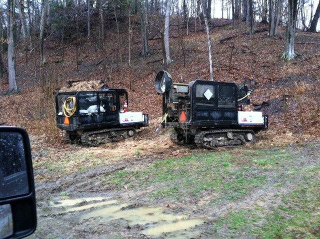
Check out these geo rigs being used for seismic mapping on my place. You can see the drill shaft on top of the rig on the right. I guess they drill a hole, plant a charge, detonate, and listen to map the oil, or in this case the natural gas deposits. Reminds me of photos of some old Power Wagons set up the same way.
Follow Ups: